


+
3
YEARS
OF EXPERIENCE
+
10,000
has
PROCESSED
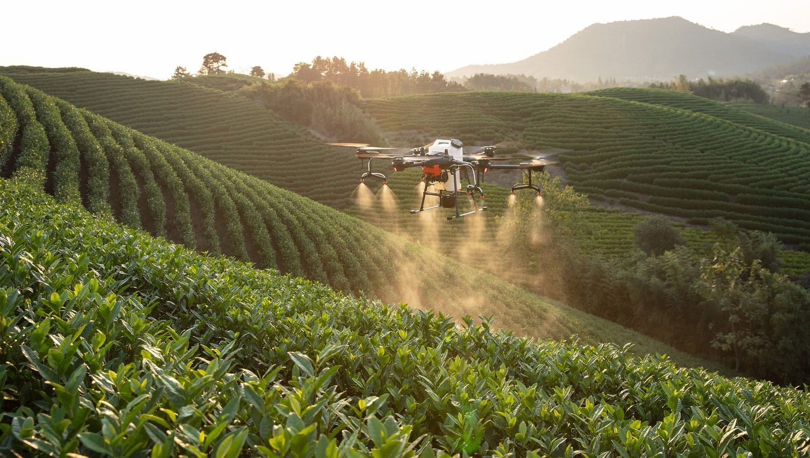
At the service of the land and those who work it
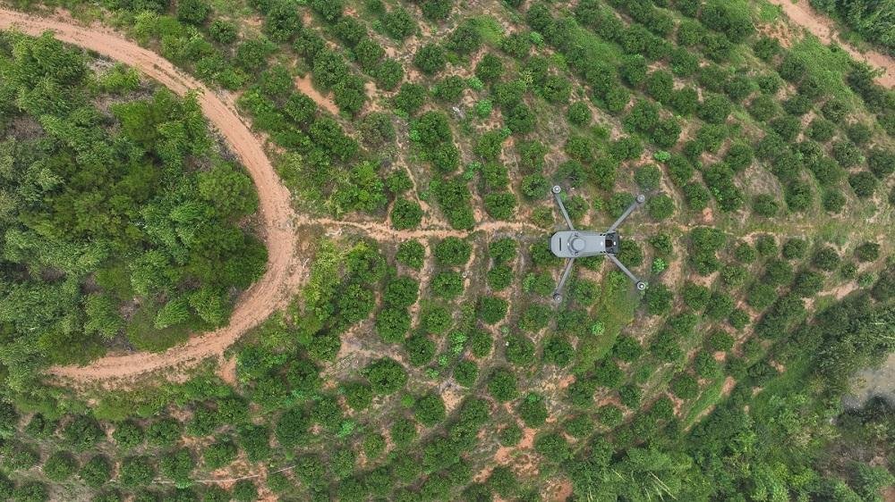
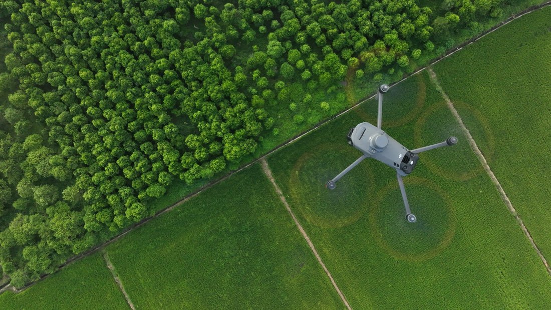
It was born out of a clear vision and with the purpose of transforming agriculture through technological innovation.
With the Aim of making farm work more sustainable and efficient.
+
12
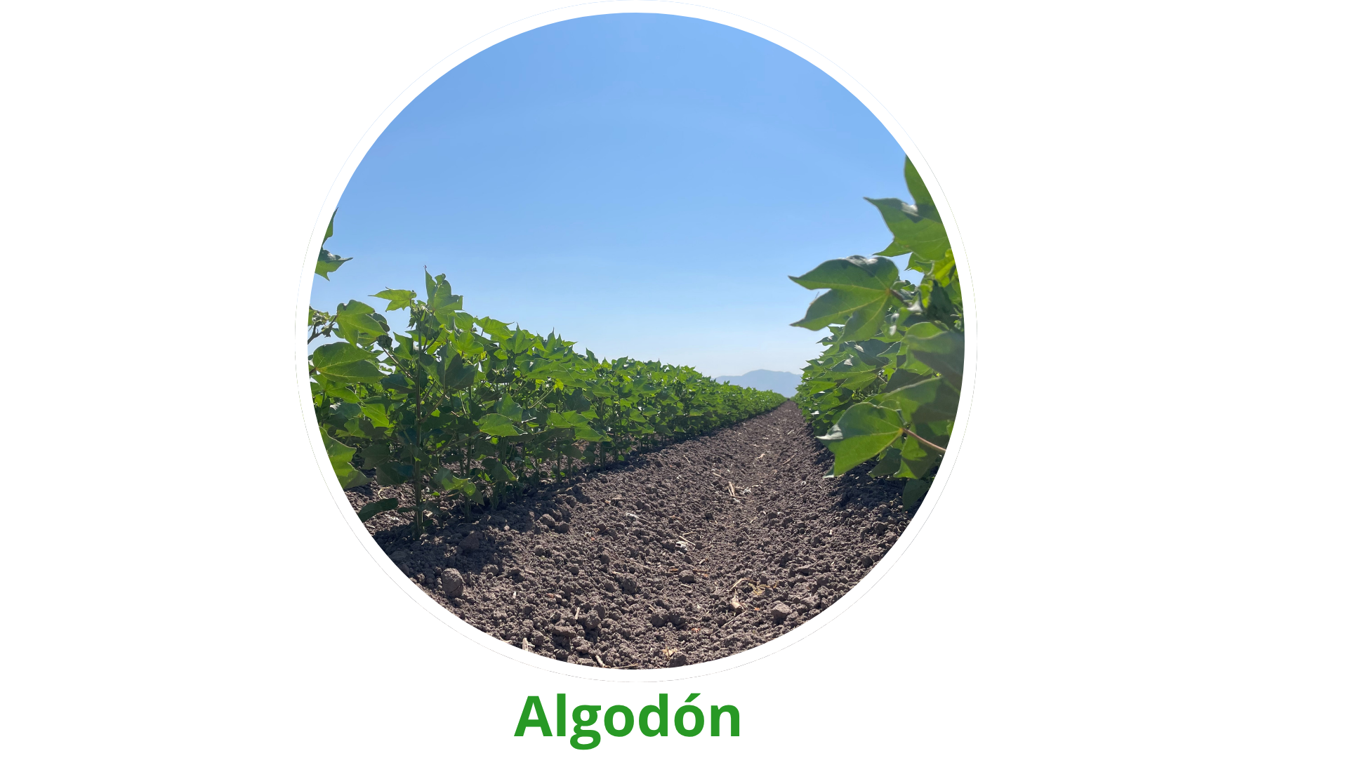
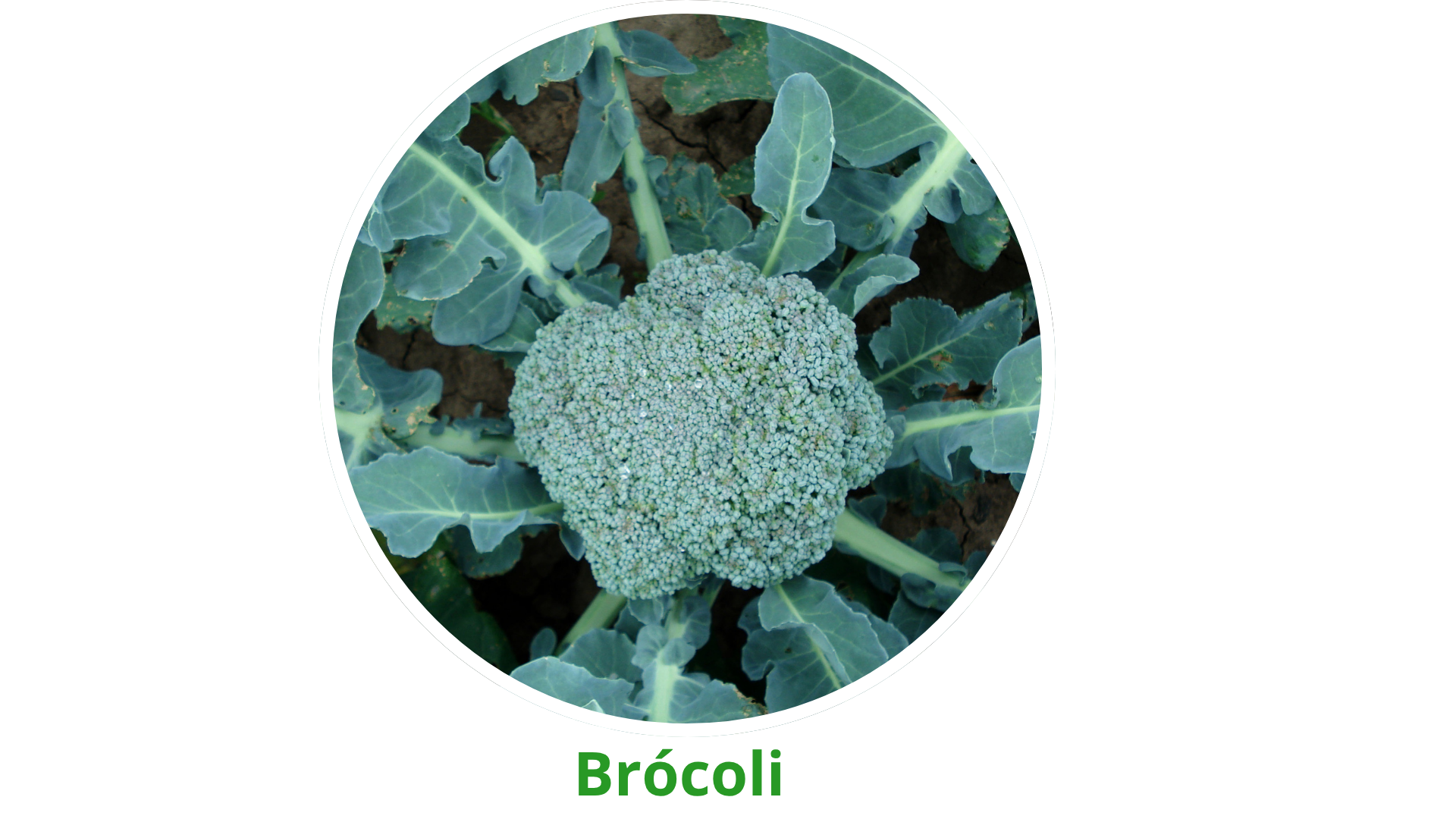
crops
ANALYZED
SERVICES
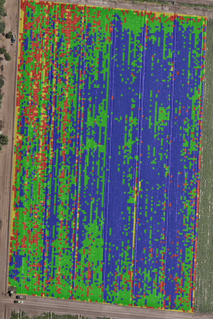
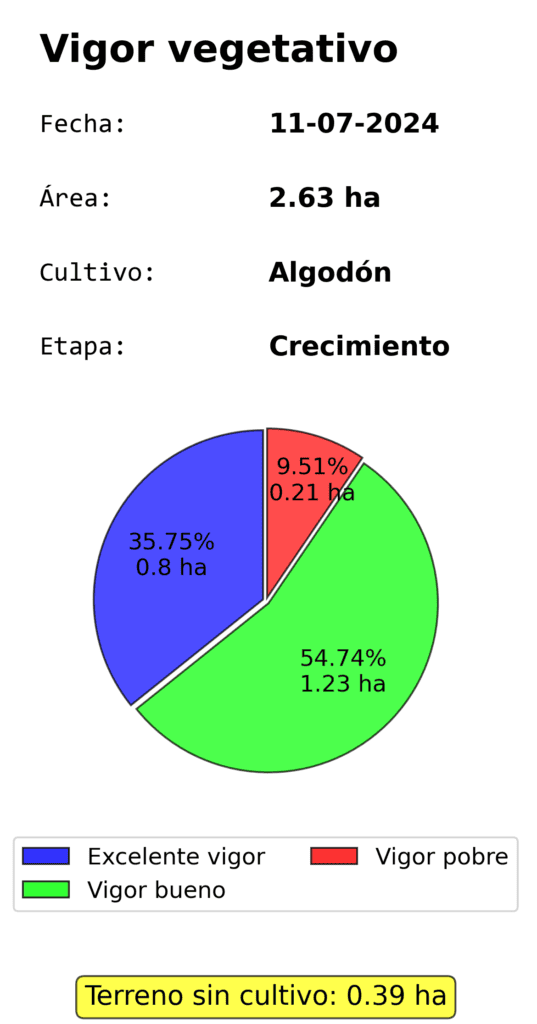
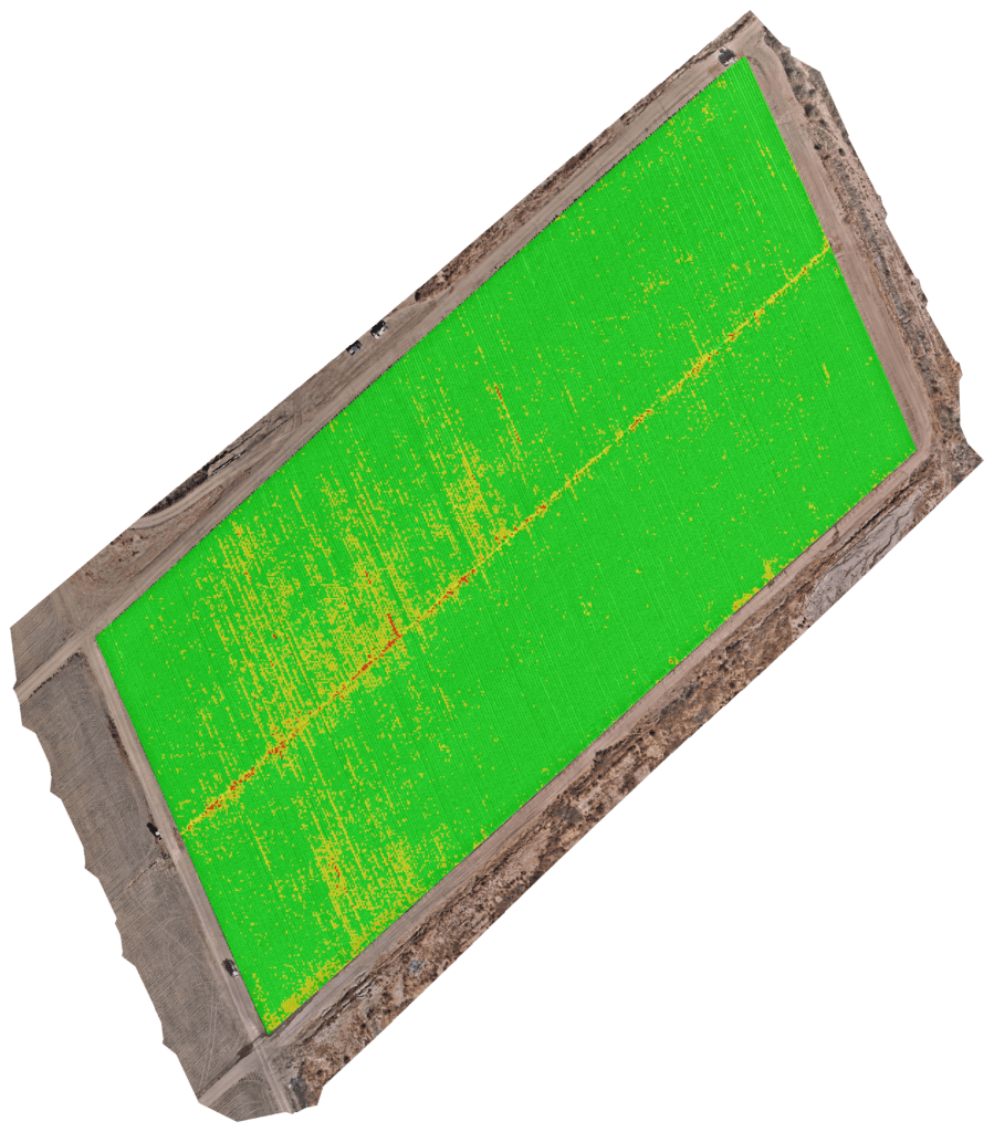
Monitor and evaluate the health of your crops throughout their growth cycle with our accurate vegetative vigor analysis. Identify the exact zones of your field based on leafiness levels and the percentage of each category. With this detailed map, you can make informed decisions about fertilizer application and other farming practices, focusing your resources only on the areas that really need it. If plants do not present problems caused by biological agents or environmental conditions, this tool will allow you to optimize input use, improve operational efficiency, maximize yields and preserve environmentally sensitive areas.
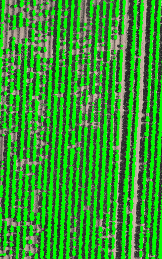
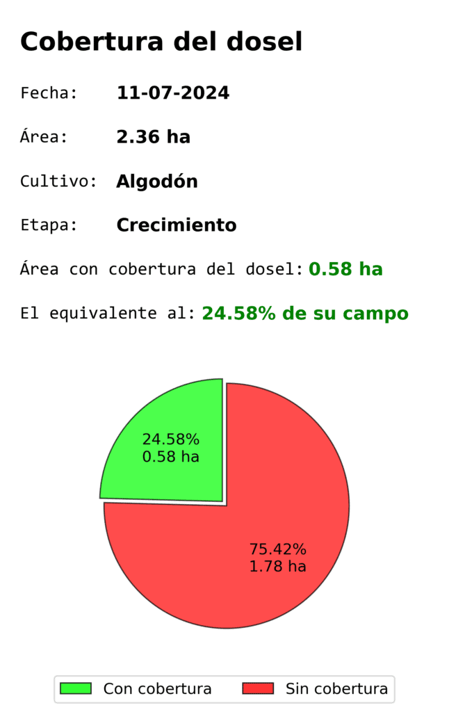
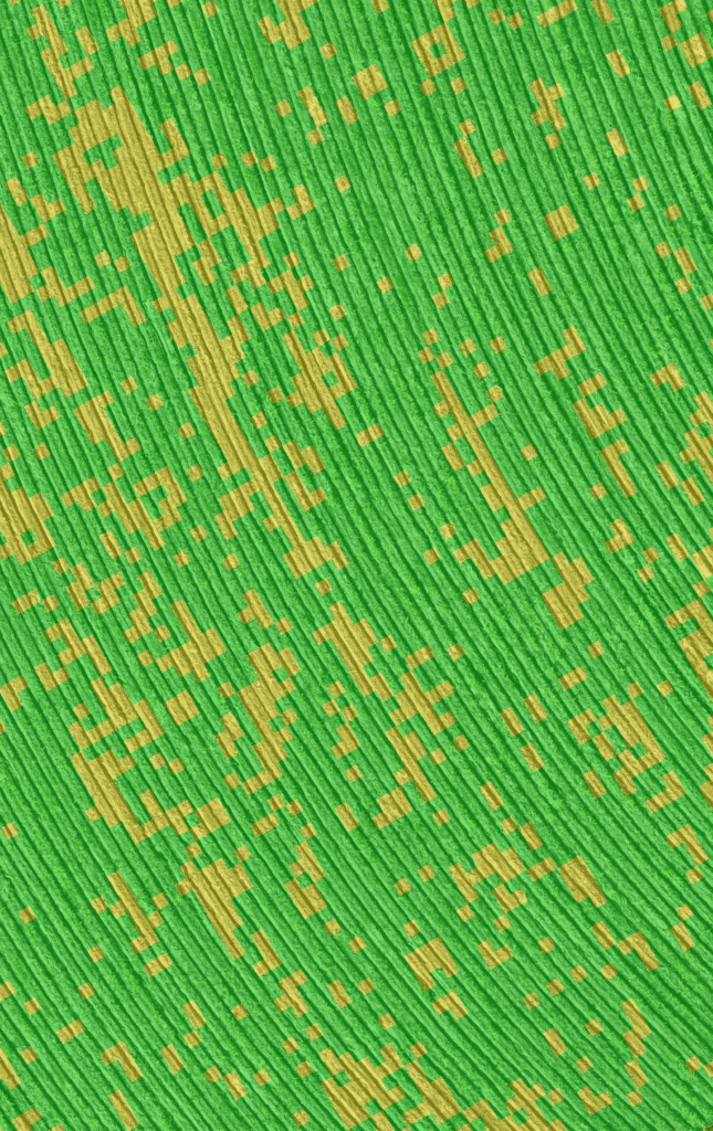
Crop canopy cover analysis measures the proportion of area covered by the crop in relation to the exposed soil, providing an accurate leaf area index (LAI). This analysis is ideal for monitoring crop development, evaluating crop growth and uniformity, optimizing water and nutrient use, and preventing erosion. It is recommended to be applied during the vegetative growth phase, before harvest or after agricultural interventions, allowing more accurate decisions to be made to improve field productivity.
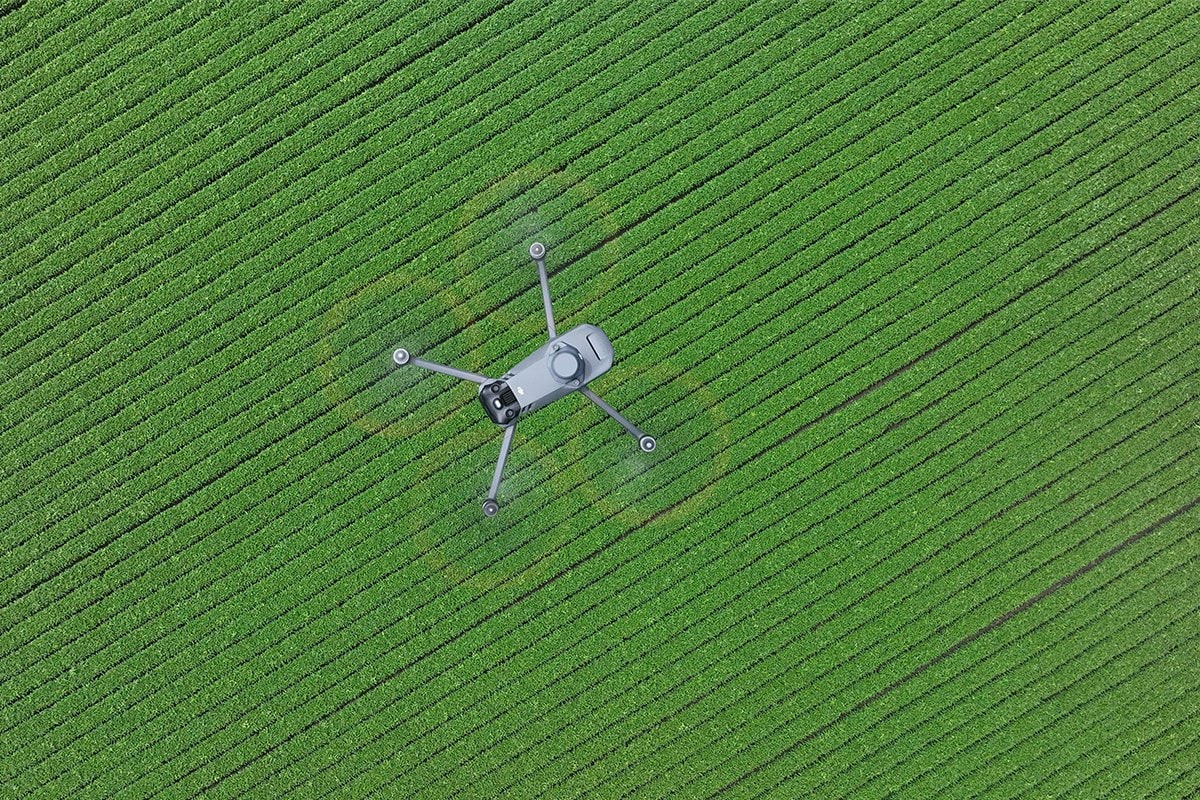
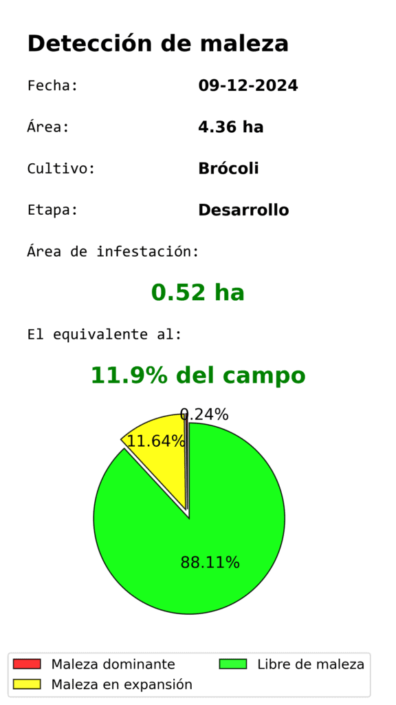
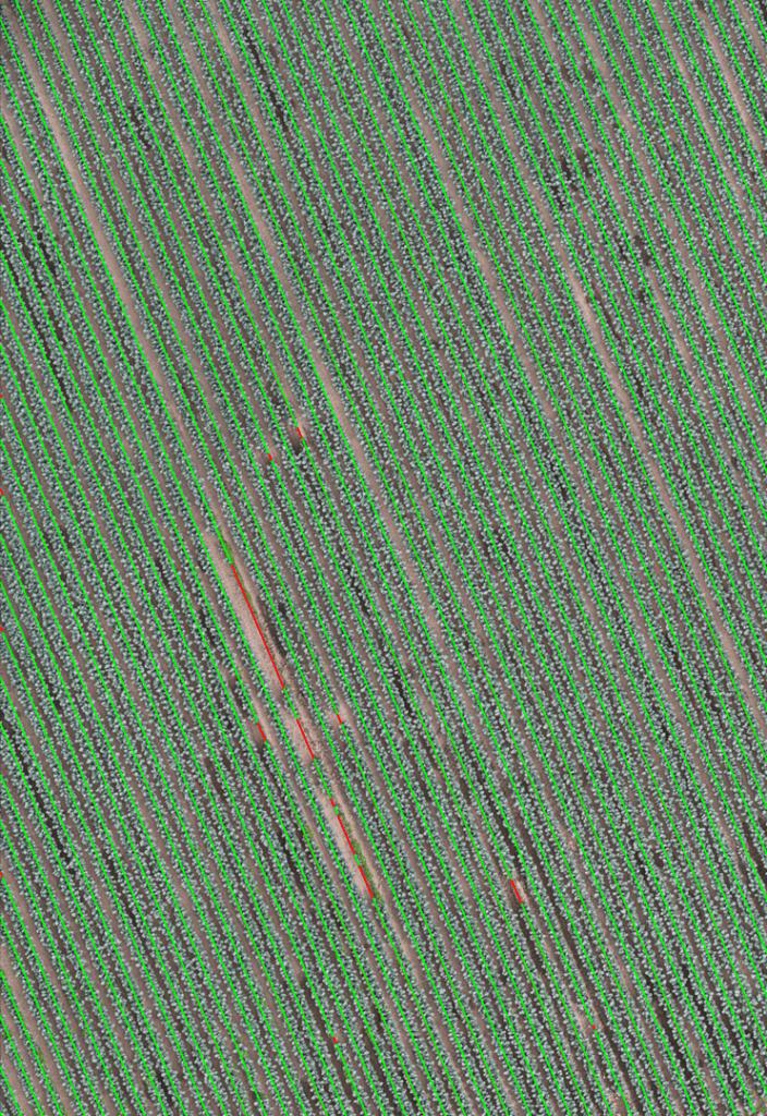
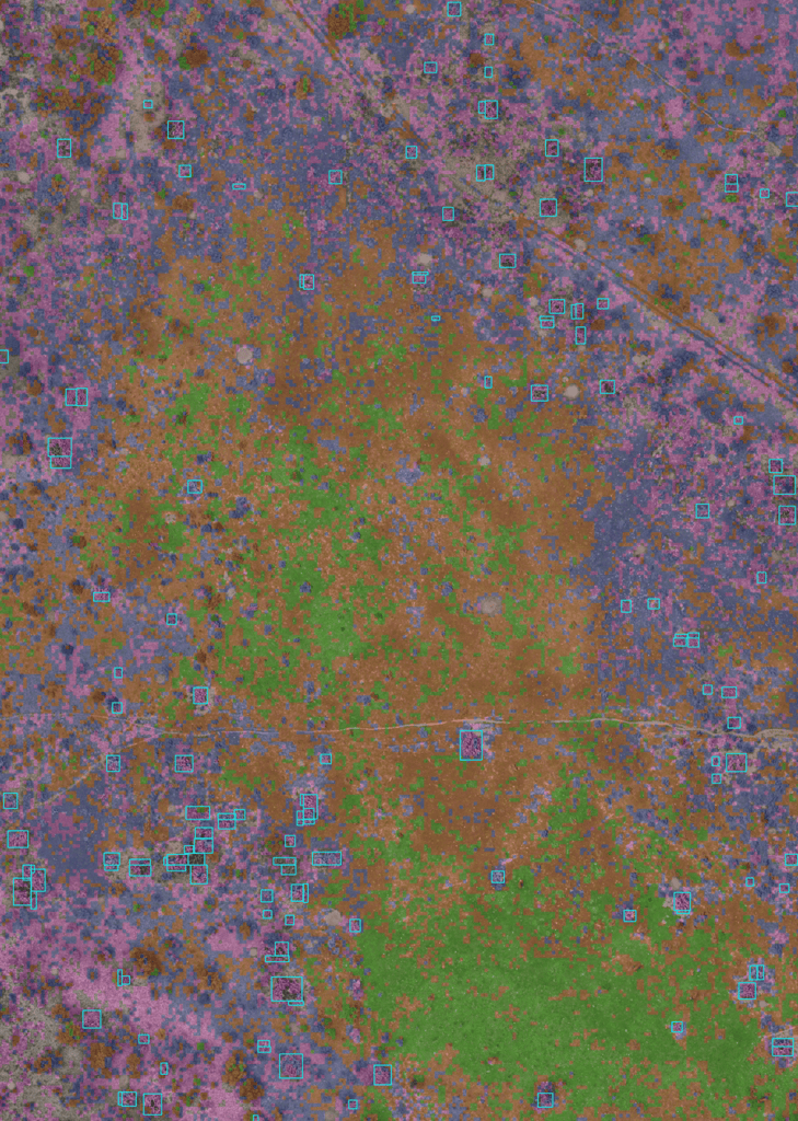
Weed detection analysis offers an advanced solution to accurately identify and map shrub and scattered weeds in the field. By detecting infested areas in a timely manner, we generate detailed maps that provide accurate information on affected areas, percentages and exact locations of weeds. This allows you to create variable prescription maps, facilitating continuous monitoring of weed levels and the implementation of effective corrective measures during the crop cycle. By optimizing herbicide use in the right time, amounts and areas, you can improve the efficiency of your control techniques, reduce operating costs and minimize environmental impact by avoiding excessive chemical use.
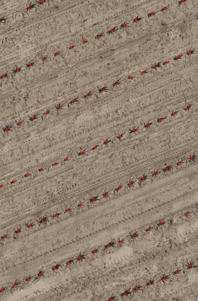
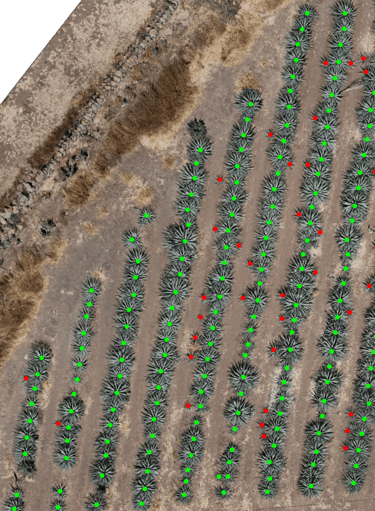
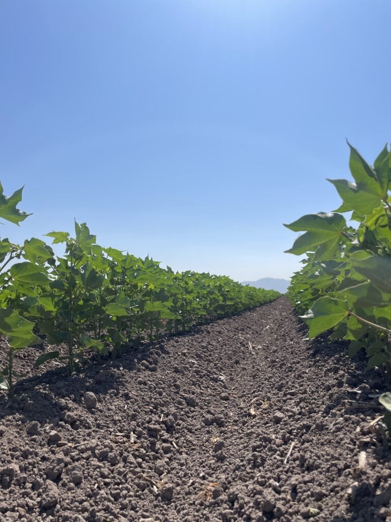
Plant counting provides an accurate solution for determining crop density. Obtain the exact number of plants or cultivable linear meters and the level of utilization of the total capacity of your plots. In the first instance this analysis will allow you to measure the germination rate of your seeds and subsequently, verify if the plant density is within the optimal range, facilitating informed decisions on reseeding, spacing and crop management. This analysis can be done from the earliest stages of vegetative growth, when plants reach a minimum size of 10 cm or when they have defined leaves. Maintaining proper density will allow you to maximize crop yields, optimize resource use and improve the overall health of your plants.
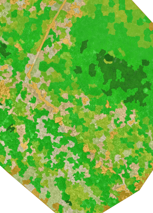
Vegetative mapping is an analysis that classifies the vegetation on your land according to its level of greenness, allowing you to identify areas of interest and make an accurate assessment of vegetation quality and distribution. Ideal for livestock fields, this analysis is particularly useful for designing more efficient grazing systems, assessing the forage value available to livestock and optimizing land management. It also provides key information on the characteristics of different vegetative zones, facilitating decision making based on specific patterns and management needs.
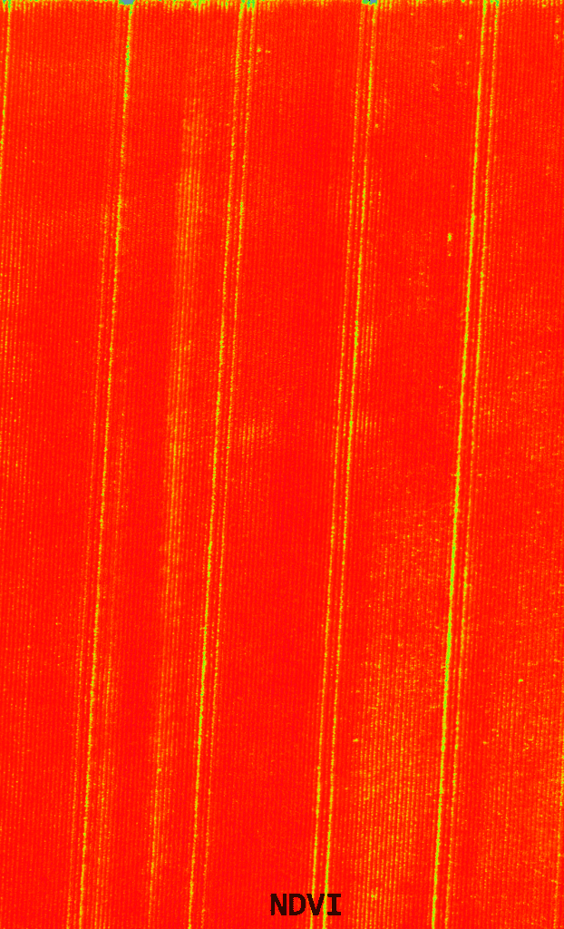
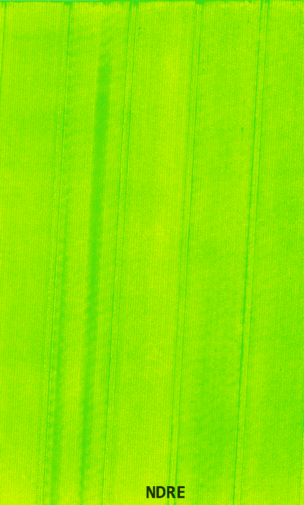
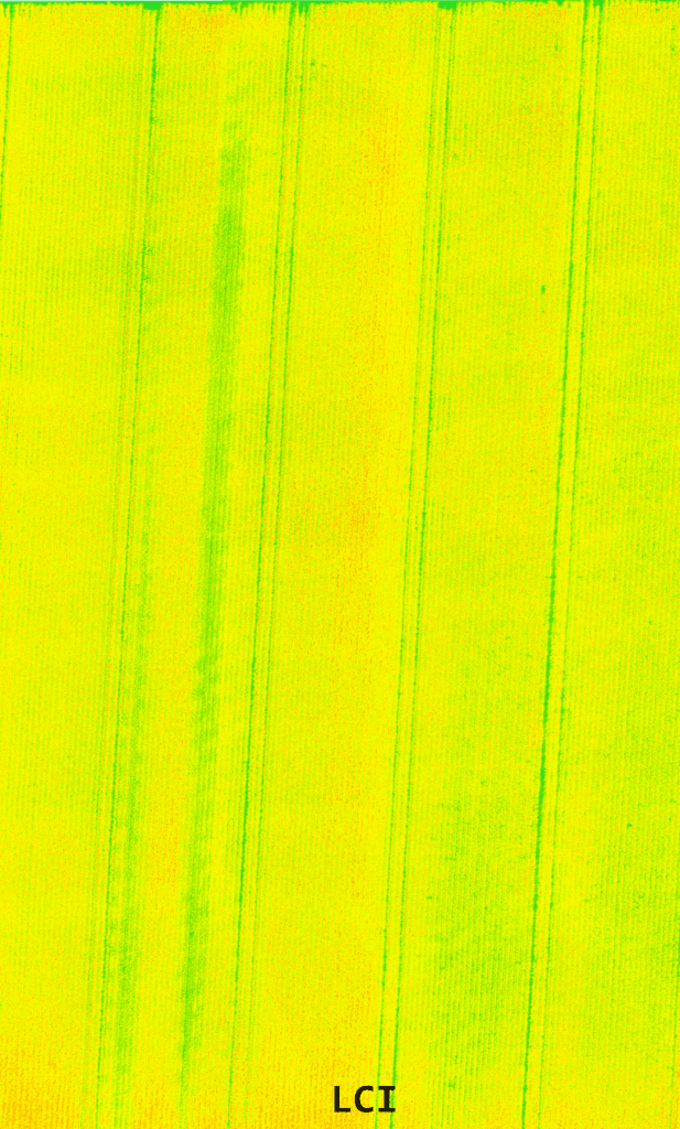
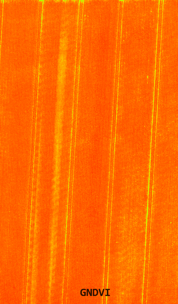
Our interactive visualization and analysis platform allows you to efficiently monitor the health of your crops through detailed maps based on 5 vegetation indices: NDVI, GNDVI, OSAVI, NDRE and LCI. These indices provide a quick and accurate view of the state of development and health of crops, facilitating the identification of areas that require attention. Use this tool to visualize the evolution of your crops throughout their cycle, providing valuable information to track their progress, detect trends and make informed decisions based on crop behavior over time.
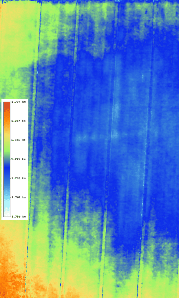
Elevation maps provide a detailed visualization of the terrain, revealing variations in slope and allowing you to identify areas prone to waterlogging or runoff, as well as optimal zones for various productive activities, such as agriculture or livestock. They also facilitate the design of efficient drainage systems and irrigation adjustments, allowing you to foresee accumulation problems and optimize water distribution. You can also request the generation of contour lines, which provide a detailed analysis of the topography of your land for more accurate land planning.
Would you like to learn more about our services?
Fill out the form to receive personalized attention!